Intel collaborated with two departments of transportation in the U.S. to improve bridge inspections.
Their solutions are supplementing manual inspections of the Daniel Carter Beard Bridge connecting Ohio and Kentucky and the Stone Arch Bridge in Minnesota. Throughout the inspections, Intel’s advanced automated commercial drone hardware and software solutions increased efficiency and produced more reliable data in a fraction of the time and cost of traditional methods.
“With bridges worldwide experiencing undetected structural issues, it is critical to address this real-world concern of transportation safety with impactful commercial drone applications. Intel’s comprehensive drone solutions not only improve speed and accuracy through increasing automation of existing workflows, but also reduce safety risks and provide more reliable, actionable insights for future planning and safety assessments,“ said Anil Nanduri, Intel vice president and general manager, drone team.
Traditional inspection methods can be dangerous, costly and time-consuming. And they often provide unreliable data. These methods also obstruct daily traffic patterns with road closures, rely on manual labor that doesn’t always capture accurate data for proper rehabilitation assessment, can be prohibitively expensive to publicly funded sources, and require many work hours.
Intel’s full suite of commercial drone solutions assisted officials in the full drone workflow, from the flight planning and aerial data capture to the cloud-based digital data management, processing and analytics. In some cases, this resulted in a 40 percent cost savings over standard inspection processes. Falcon 8+ drone performs despite certain external influences such as windy conditions or electromagnetic interference. The robust and advanced flight system provides safe, scalable access to hard-to-reach locations, reducing the need for risky hands-on methods such as rope access.
By programming automated flight paths, inspectors can capture high-quality aerial data with the push of a button without obstructing commuter’s traffic patterns and while helping to improve safety for workers and travelers. Intel Mission Control enables inspectors to create flight plans for complex 3D structures such as bridges and enable the ability to duplicate flight plans for future inspection missions. The result is a repeatable mission to capture quality consistent data to monitor the condition of the bridge and areas of deterioration down to millimeter accuracy, and to compare that data over time.
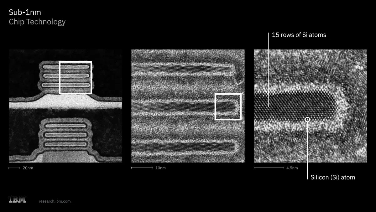
IBM unveiled a major semiconductor breakthrough with the introduction of the world’s first sub-1-nanometer (nm) chip technology, featuring a revolutionary transistor architecture at the 0.7 nm, or 7 angstrom, node.
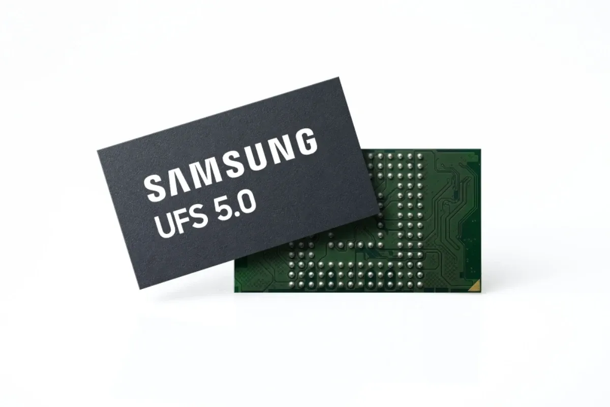
Samsung developed the industry’s fastest Universal Flash Storage (UFS) 5.0 solution, which will help enable seamless and highly efficient AI services on future mobile devices.